The trail
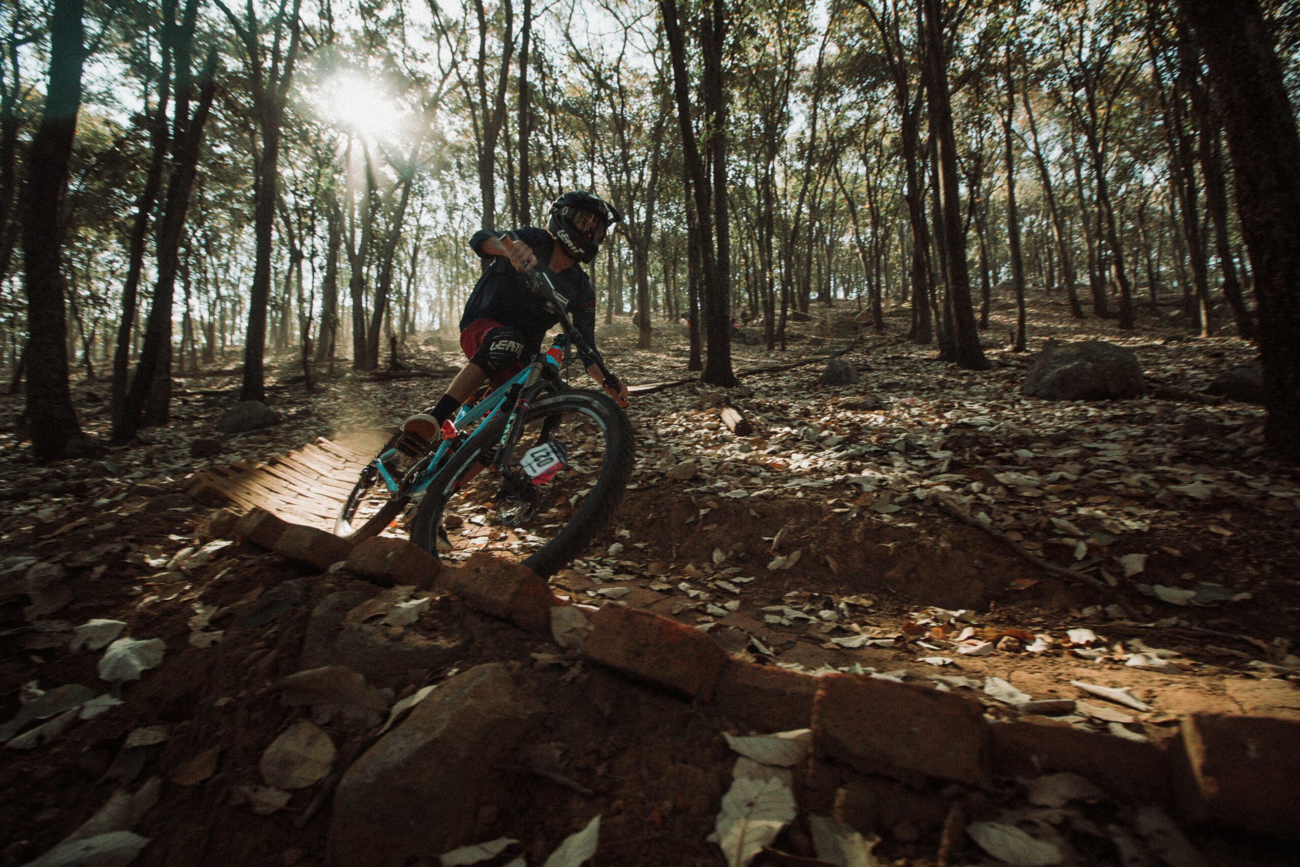
La Vecchia Ferrovia is an almost completely flat trail running at about 1,150 metres above sea level on the Gouta plateau, at the head of the Barbaira valley (which up here takes the name Sgorea). You ride inside one of the largest forests in Liguria: tall silver firs, beeches, maples and Scots pines, less than 20 km from the sea. The fir forest is a rarity for the region and the area is protected as a Site of Community Importance.
The name recalls the days when there was a sawmill at Margheria dei Boschi: logs cut in the surrounding woods were moved along this route on carts running on rails. Today what remains is a soft, flowing trail that follows the terrain bend after bend and crosses the streams of the side valleys on small stone bridges, almost all still intact.
The loop starts from the lay-by along the SP69, between the Sella di Gouta and Margheria dei Boschi. Ride La Vecchia Ferrovia all the way to the end; a few dozen metres before it finishes, take the trail on the left that descends the valley of the Rio Sgurra and, after about a kilometre, comes out on the gravel of the SP69. From here you head back on the flat, climbing up the valley to Margheria, and finish with about 500 metres of climbing to the starting point.
Along the trail, several tracks drop down towards Margheria, about 50 metres lower but hidden by the woods: to shorten the ride you can use the one marked with white-and-red flags, roughly halfway along. If you want a longer ride, you can instead close the loop higher up, using a section of the Alta Via dei Monti Liguri or the path that branches off it shortly after Scarassan: the climbs are always moderate, but no longer flat.
Map and elevation profile
Track taken from the GPX file. Hover over the profile to see the matching point on the map.
Name origin and history
The trail follows the route along which, in the days of the Margheria dei Boschi sawmill, logs were moved on rail carts.
Start and finish
How to reach the start
Lay-by along the SP69, on the road linking the Sella di Gouta to Margheria dei Boschi (about 500 m above Margheria). From Bordighera, head up the Val Nervia; just before Pigna, turn left and climb to the Colla di Gouta (1,210 m) on a narrow road with plenty of hairpins.
Open the start on Google Maps →
Finish point
Same as the starting point (loop)
Direction, surface and gradients
Main direction
Entrambe le direzioni
Ride as described: La Vecchia Ferrovia to the end, descend left along the valley of the Rio Sgurra to the gravel of the SP69, then return on the flat to Margheria and the last 500 m uphill to the lay-by. The Ferrovia trail on its own (about 4.5 km) can also be ridden out and back.
Surface characteristics
Flat woodland trail with a surface of earth and needles; return on a gravel track (SP69).
Views and points of interest
A forest of tall silver firs (rare in Liguria, found only in the far west), beeches, maples and Scots pines; stone bridges over the streams of the side valleys. The area is protected as a Site of Community Importance (SCI).
Links to other trails and places
Connecting tracks and paths drop down to Margheria dei Boschi (the one with white-and-red flags halfway along lets you shorten the ride). Higher up runs stage 3 of the Alta Via dei Monti Liguri: by linking up with the AVML, or with the path that branches off it shortly after Scarassan, you can design longer loops closed at the top.