
Menua
The trail has a rough, bumpy first section, a very fun middle section with flowy switchbacks and technical passages, and finishes on a classic Ligurian mule track.
Hard
Open
Scala S4
Enduro, All Mountain
The trail
Map and elevation profile
Track taken from the GPX file. Hover over the profile to see the matching point on the map.
Loading map…
Loading profile…
Name origin and history
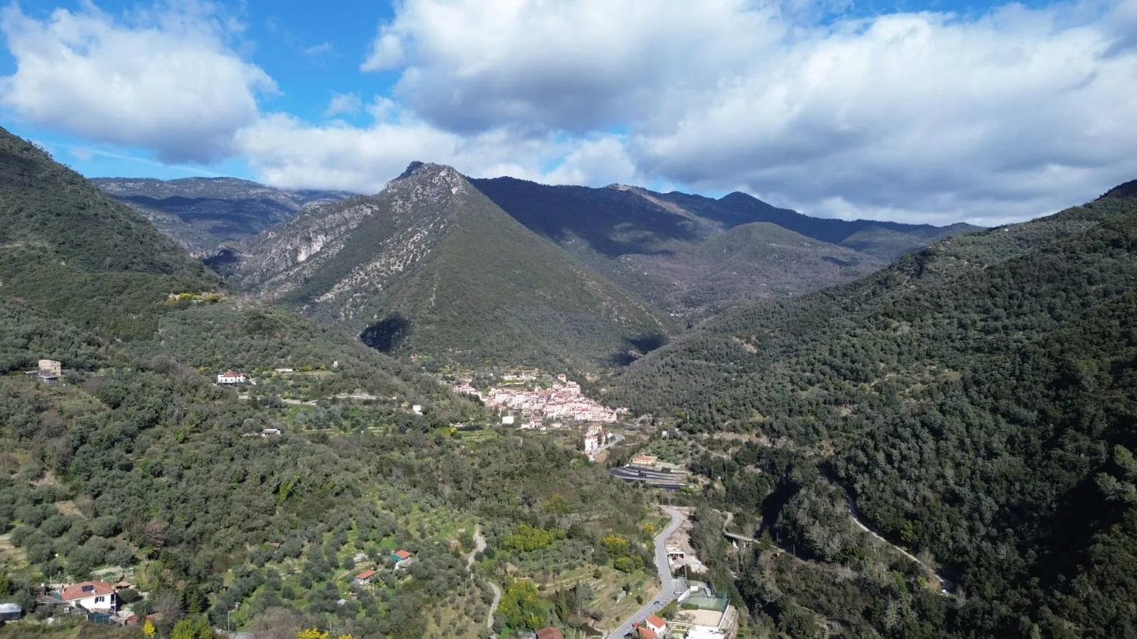
Menua is the name of the area that the trail links to the village of Rocchetta.
Start and finish
How to reach the start
From Rocchetta, follow the municipal road that runs alongside the Rio Oggia to the area called Marcora, then climb a singletrack that leads to the start of the short but fun sentiero dell'aquila.
Direction, surface and gradients
Main direction
Discesa
Surface characteristics
The trail is almost entirely dirt, apart from the last section, which is paved with stones in places.
Gradient notes
Apart from one steep passage near the start, the rest descends gently.
Links to other trails and places
To reach the entrance to Menua, from Marcora take the sentiero dell'aquila (the eagle trail).
Before you go
Rules and good habits that apply on all our trails.
Weather recommendations
Check the forecast for the trail's altitude, not just the coast. If storms are forecast, postpone the ride; after heavy rain the ground stays slippery for days.
Respect for the land
Stay on the trail and don't make shortcuts. Brake without locking your wheels, give way to walkers, slow down near people and animals, close gates and take your litter back down.
Fire precautions
Don't light fires and don't drop cigarette butts. Respect bans during high-risk periods, especially in summer and in wind. If you see smoke or flames, move away at once and call for help.
Emergency numbers
112
Single emergency number: medical and mountain rescue.
1515
Forest Carabinieri: reporting wildfires.
Safety advice
Don't set off alone on a trail you don't know, and tell someone your route and expected return time. Bring water, a repair kit and a jacket; always wear a helmet, and protection on technical sections.
Know a trail that isn't here?
Suggest it yourself: all you need is the GPX track, a few photos and a couple of lines of story. We ride it, prepare the sheet and publish it with your credit.